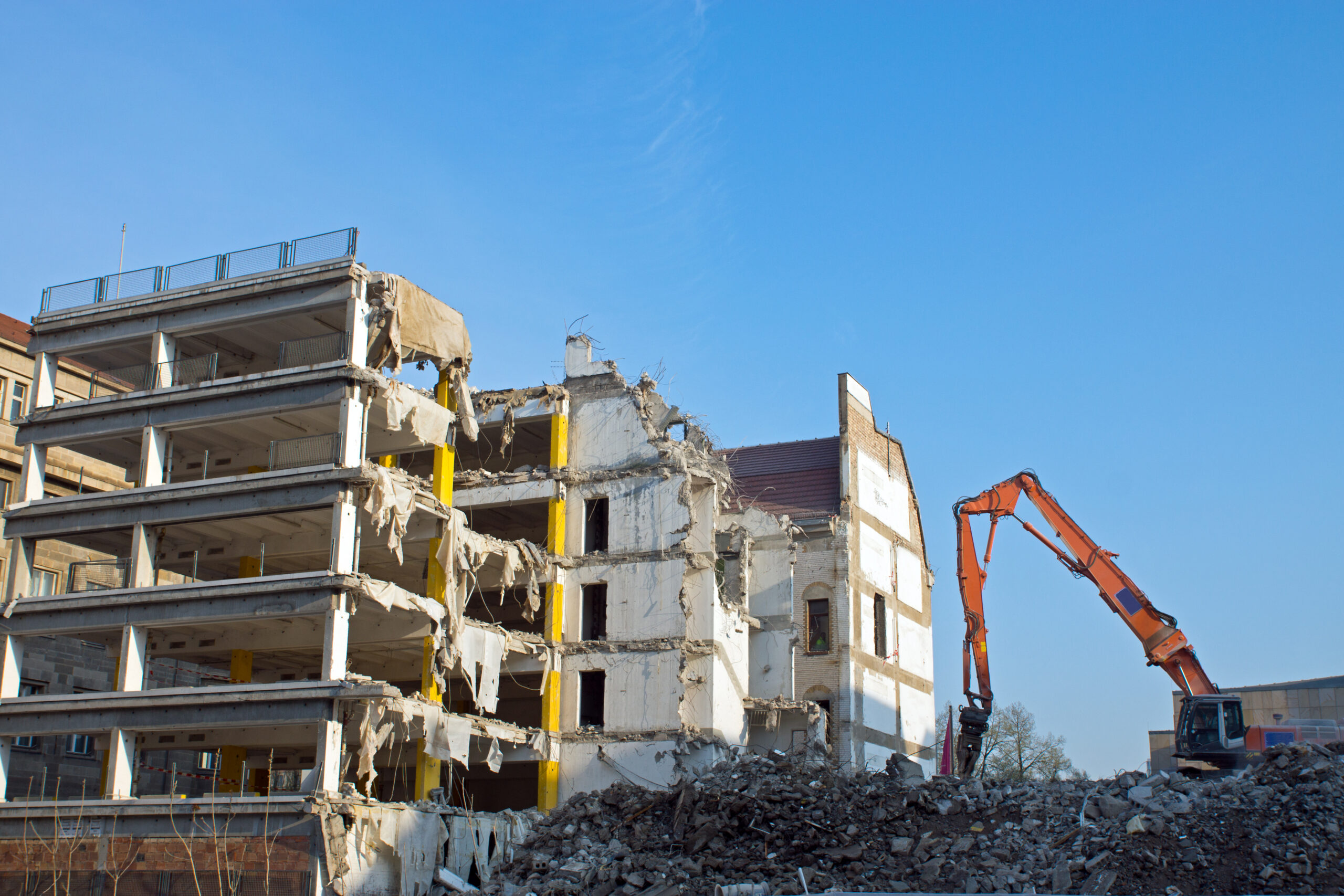
Drone Construction Site Monitoring | Inspection | Construction Progress Photos | Drone Demolition Videography
Large construction sites benefit from regularly scheduled aerial site data. Either pre-determined intervals, or as needed, aerial views will help you stay on schedule, within budget, and know of any obstructions that are in your path. We’ve got thousands of hours of flight time specific to construction sites, demolitions, and inspections, so we know what you are looking for and can get the perfect shots, the first time. Jobsite safety is our number one priority, and we are fully insured and FAA licensed.
Construction environments can be dangerous. You don’t want to risk just any drone operator flying around your jobsite, and you don’t have time to hold someone’s hand. You want someone who has completed thousands of hours flying over construction sites, has been in this industry for over 20 years, and knows exactly what you are looking for. Someone who understands the nuances with this industry and can get you the photographs or videos you need fast, and hassle free. We know safety is the #1 priority. Our job is to get you quality footage, without the drama. We are fully insured, fully certified, and comply with all local and federal guidelines.
We work in both the public and private sector, and can assist with any construction needs. We utilize either drone or helicopter, whichever is the most cost advantageous for your requirement. Our services include progress footage, demolition videos, inspections, documentation, and surveys.
We’ve been doing this for over 20 years. We not only have thousands of hours of flight time under our belts, but we also teach (and certify) drone pilots. We also have thermography certifications, and perform inspections with thermal imaging in many industries. Check out our thermography page to learn more.
Aerial and Drone Services provides photography, videography, inspection, and thermography services for any industry. Serving Pennsylvania and New Jersey, we’ve been doing this for over 20 years. We are dual FAA certified for both drone AND helicopter. We’ve got the equipment and knowledge to handle just about any aerial request. Contact us today for a no obligation quote.
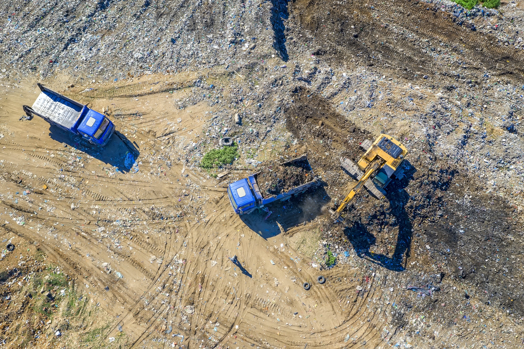
Aerial and Drone Services provides a complete range of professional drone and UAV services that can be tailored to any size construction project. Find out how professional drones can provide the project intelligence your team requires. UAV technology and construction drones deliver the project intelligence you require. Our drone services for construction capture multiple perspectives from different heights of your project. Every drone we have is operated by a certified construction drone pilot. To ensure safety and compliance, we file all waivers and comply with all aviation regulations necessary to comply with local and federal regulations.
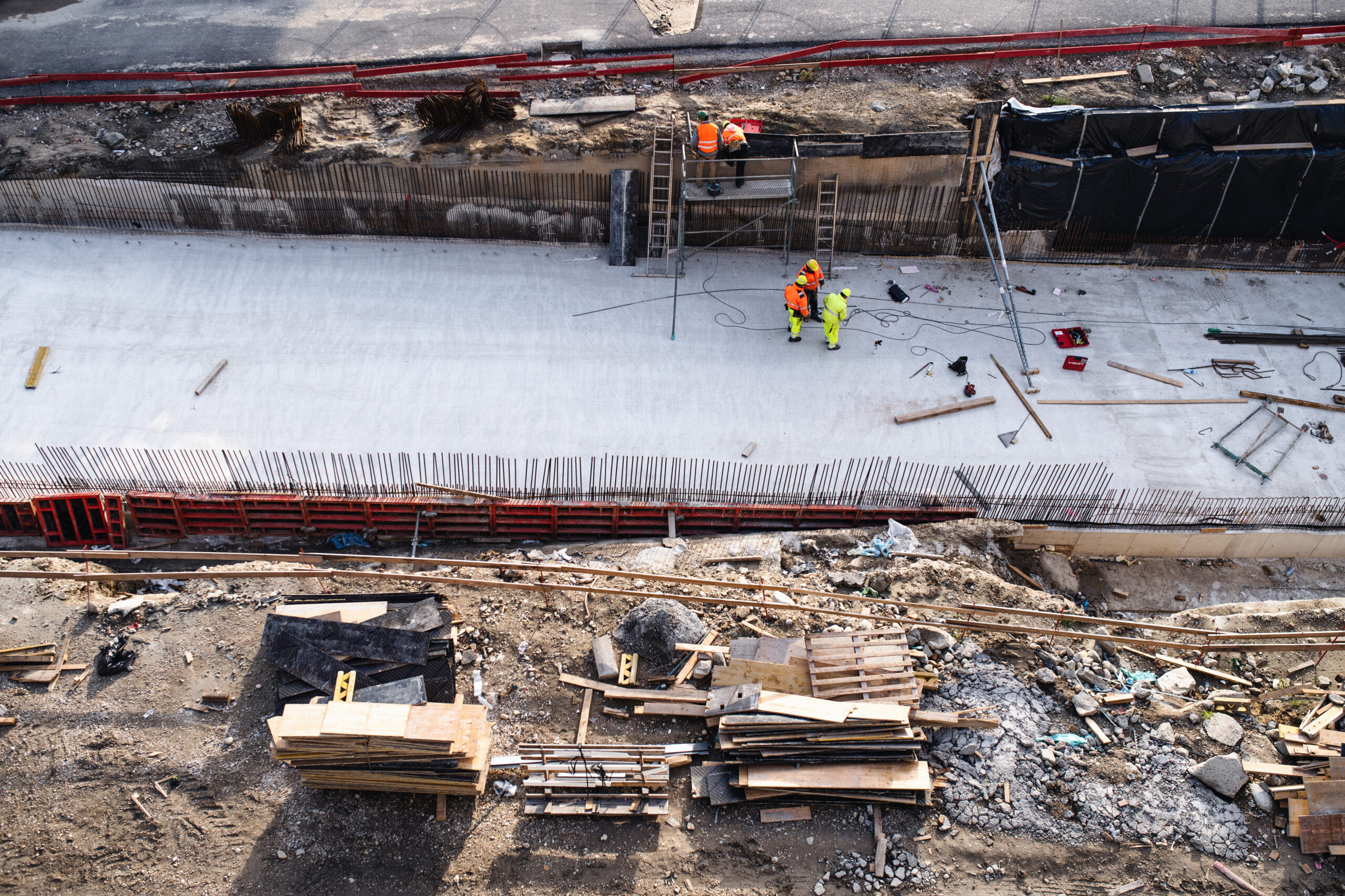
The way that construction companies inspect and monitor progress is changing with drones. Drones help keep construction projects on time and within budget while increasing safety and efficiency. Aerial imaging of construction sites is a cost-effective and efficient tool that contractors and land developers can use to efficiently manage the entire construction process, from planning to completion. It also helps them to keep time lines on track, stay within budget and provide accurate information to all stakeholders. Our aerial photography and video services can capture all angles of your project, no matter if it is a residential development or commercial real estate complex.
Drones are able to improve progress monitoring, tracking, and documentation during construction projects by using advanced visualization tools and invaluable aerial photos. We can capture your project from many angles, altitudes and distances. This allows us to provide a complete look and can help you identify any issues or concerns. It can be dangerous to send a manned team around your construction site. You can get the detailed, thorough inspection you require while also creating a safer working environment for your workers.
We have licensed and insured drone pilots who have the knowledge and experience to handle your construction project photography and scans. No matter how large your project is, whether it’s a 40-story building, thousands of acres of submerged marsh or a complex land scan, we can provide stunning, high-resolution photos and video. Our data analysts are skilled in processing these images into detailed maps and creating a customized dataset that will give you the information you need to make informed decisions.
Drone photos and videos from the air are a great way to keep track of progress, get a complete overview of your project and highlight your finished work.
With detailed aerial photos, you can monitor and track your progress from the air. To give you a complete picture of your project, we capture images at different altitudes, distances, directions. To see how your project progresses, you can receive updates on a weekly basis, monthly or yearly basis. See the whole picture of your construction project. To truly understand the development of your site, you can view it from every angle. Drone photography provides the best views, regardless of whether they are up close or further away. This gives you a complete overview and paints the whole picture.
Unseen perspectives can be captured with high resolution clarity and unique angles. Visual evidence can be provided to stakeholders showing how the project is progressing. You can easily download your imagery and share it with potential clients or stakeholders. The use of drones in construction can provide a variety of cost-saving and benefit services for contractors, developers, architects and engineers as well as other stakeholders.
Our team can capture the inside of your building once the roof is up. Our team can provide you with everything from a drone flying through your site to providing more detailed information and a walk-through using our 360-degree cameras. Both of these methods allow you to document and share your interior space.
Use high-resolution imagery for evaluation of potential worksites. Avoid unforeseen hurdles or hidden costs. Site assessments can be streamlined with aerial surveys that provide actionable data to engineering teams. Regularly scheduled imagery, video and panoramas are used to monitor the progress of construction projects.
You can easily access archived worksite data from the past and present to verify work done without having to interrupt worksite operations.
Improve the distribution of resources, monitor supply, control costs and equipment supervision. Streamline construction to avoid costly corrections, assess setbacks more accurately in real time, and improve project oversight. You can forecast potential problems, manage risk on the jobsite, reduce losses and stay informed throughout the construction project’s lifecycle. You can save thousands of dollars on repairs, fines, or disputes if you catch an issue early.
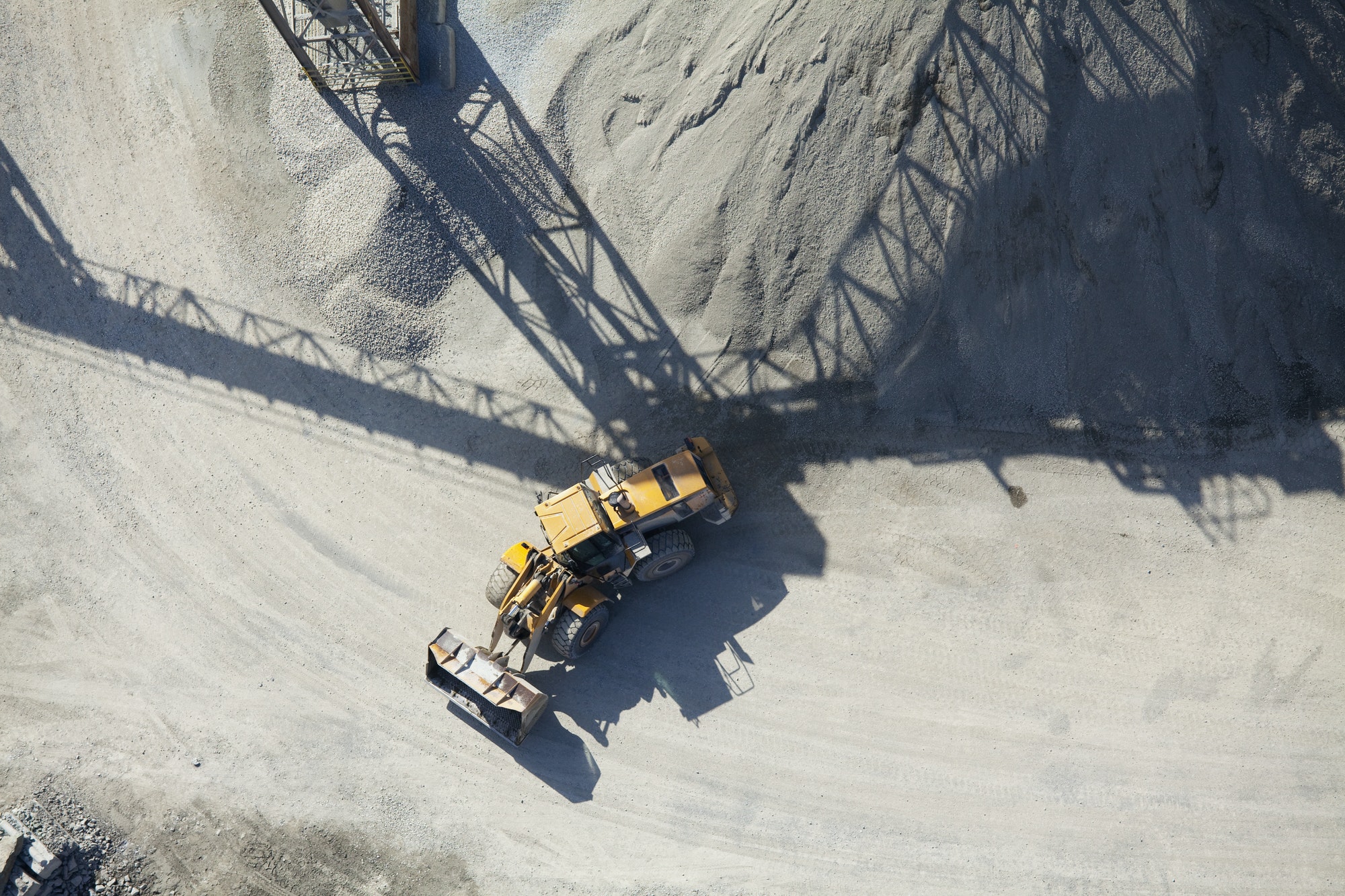
Aerial and Drone Services around Airports
Do you have an aerial need around an airport or heliport? Special permissions are required to operate a drone there, and we are one of the few drone companies qualified to secure an FAA Waiver using the LAANC process. Our pilots are licensed, experienced, and qualified. In these situations, we operate along side visual observers monitoring designated air traffic control frequencies.
In addition, we are in direct contact with ATC when required.

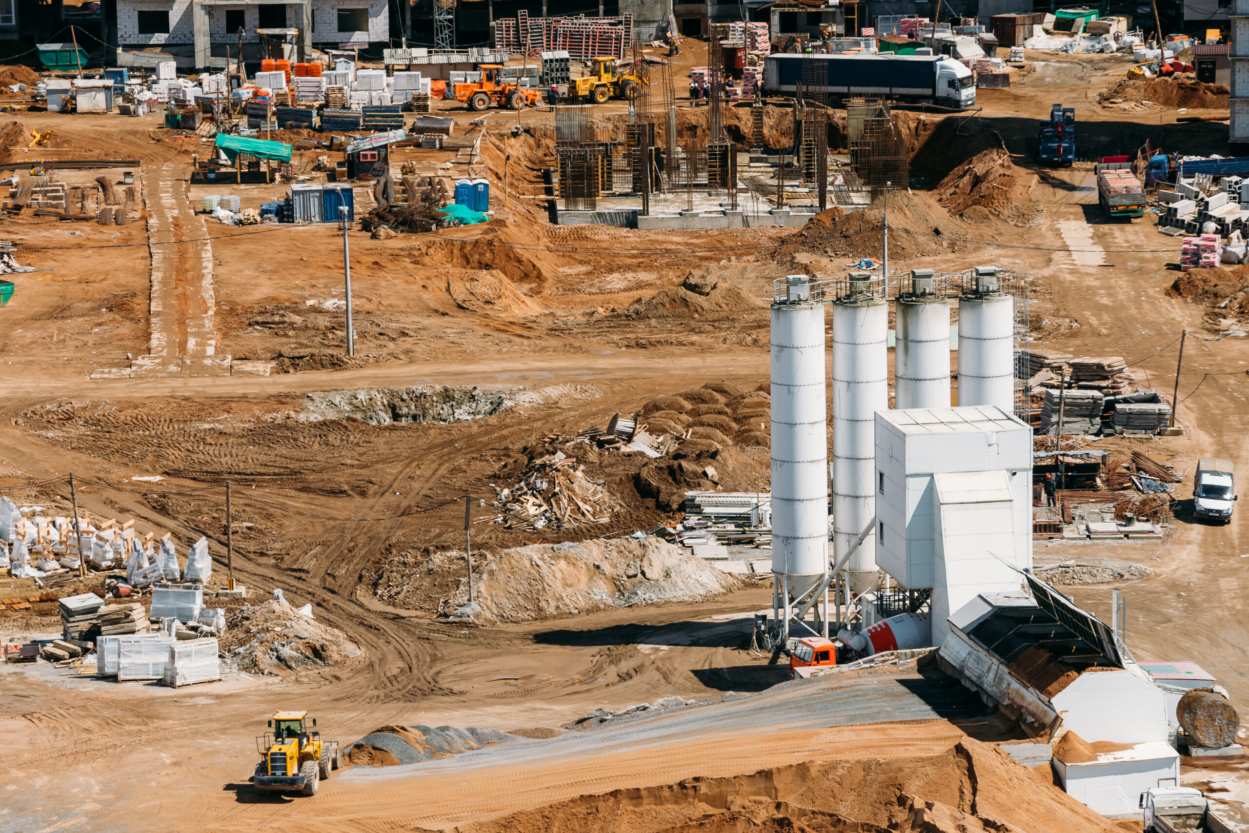
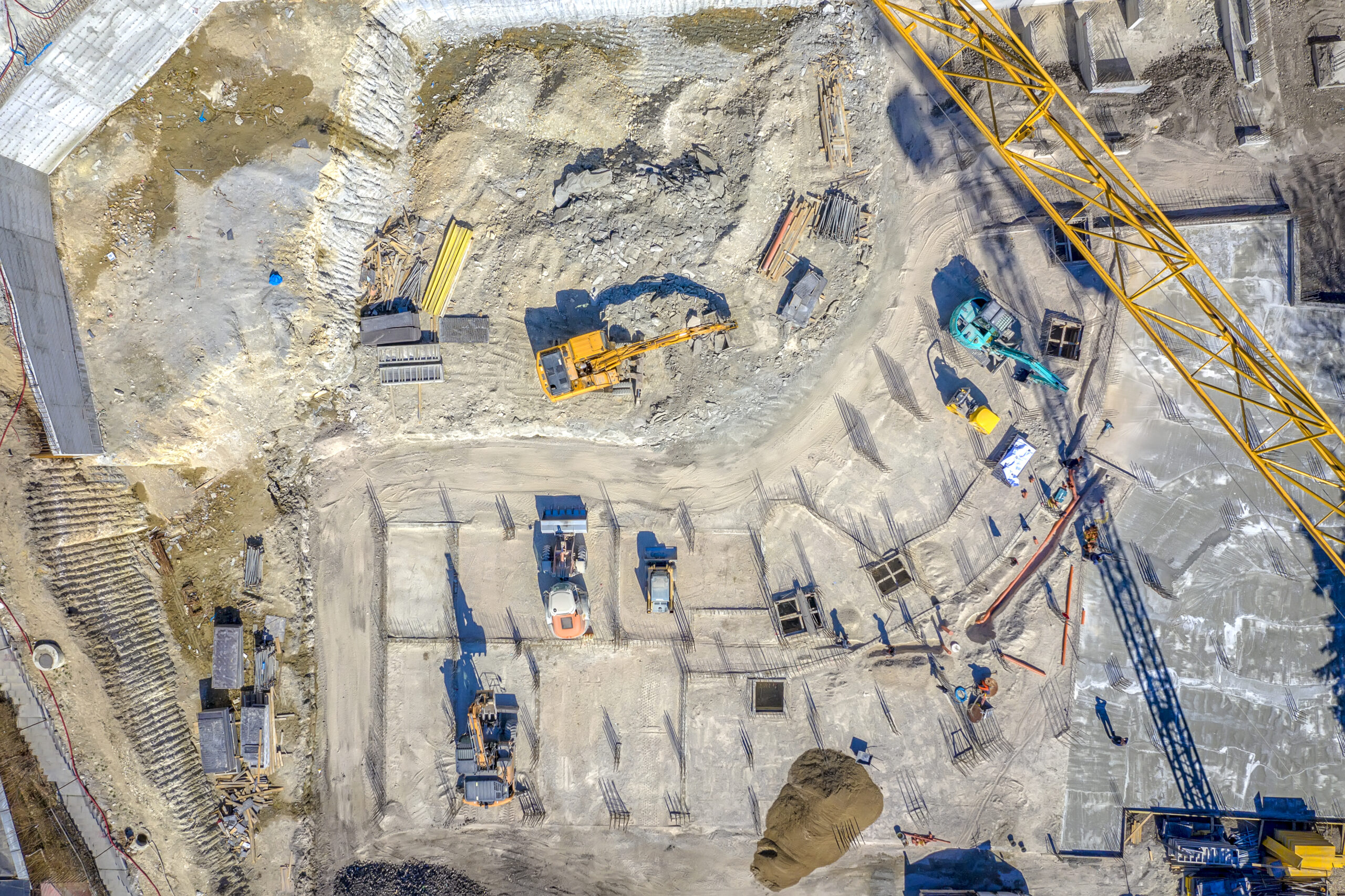
Aerial Services For Construction
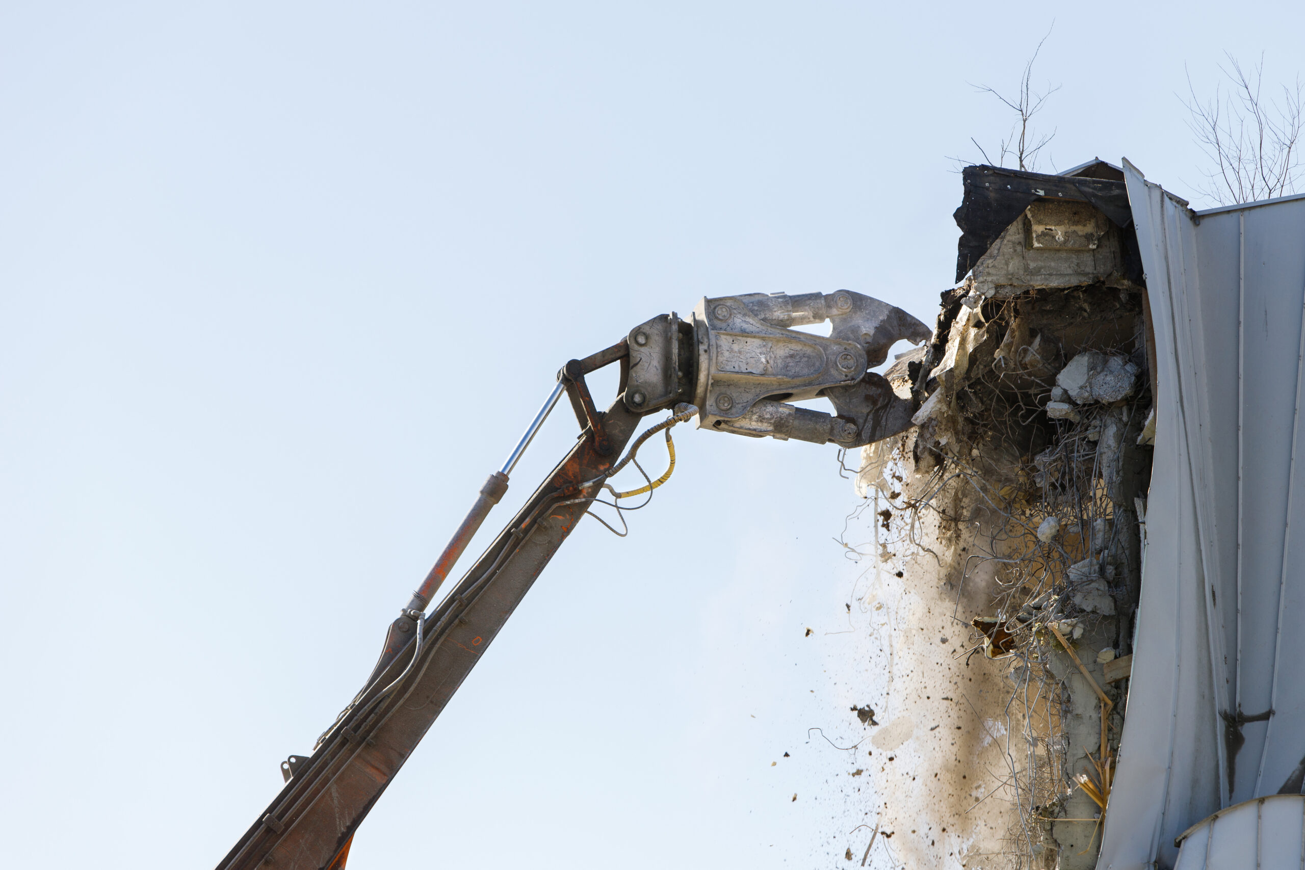
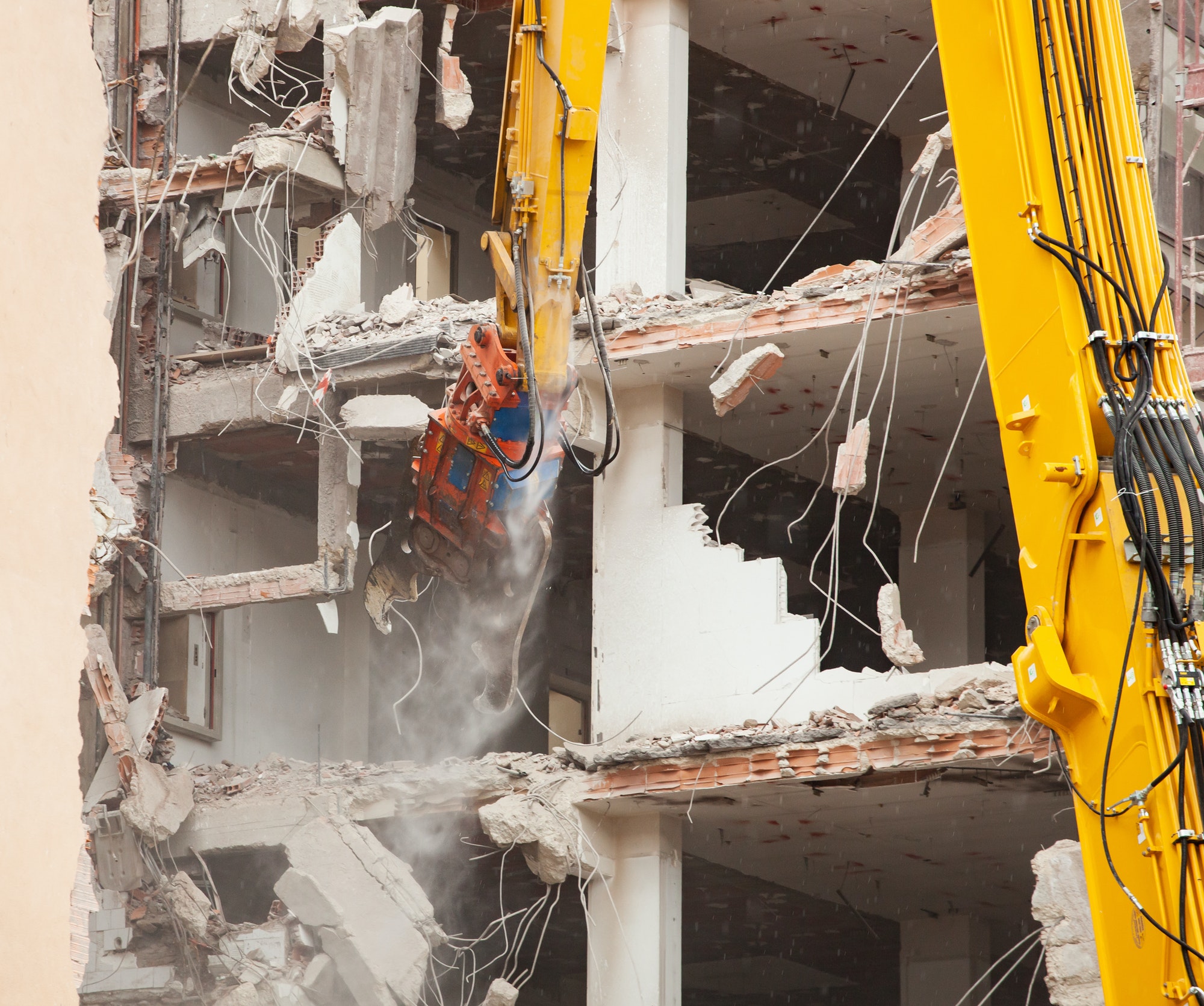
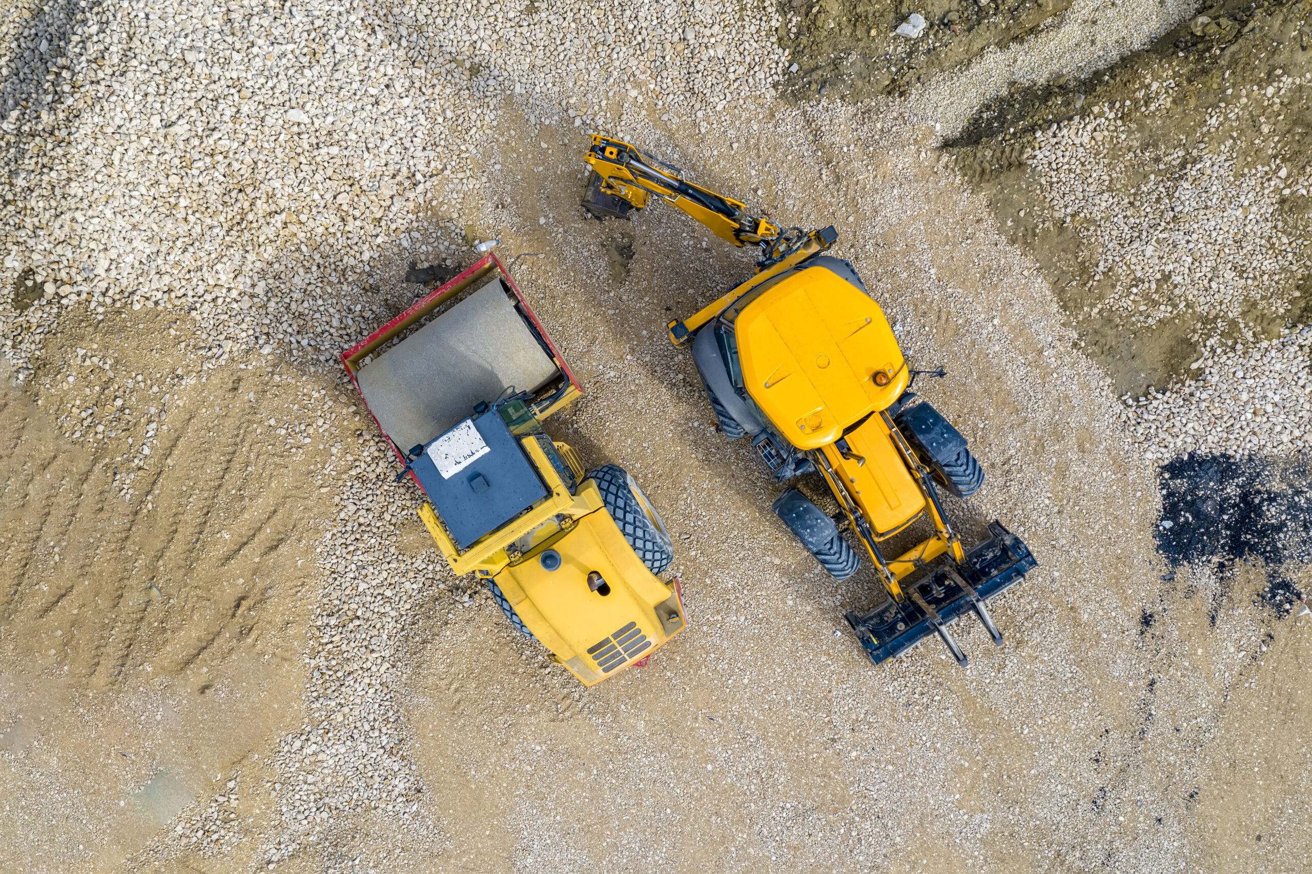
Aerial and Drone Services provides a full portfolio of services within the construction industry. We’ve done everything from demolitions to site progress phots, inspections, or overall aerial views. Our owner has worked in the construction industry and is familiar with safety protocols and nuances within this business, so we are well equipped to provide exactly what you are looking for
